[Annotation #641531]
Annotation
Métadonnées
Motivated by
locating
styledBy
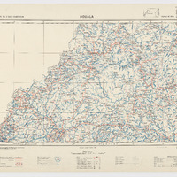
{"leaflet-interactive":{"pane":"overlayPane","attribution":"","bubblingMouseEvents":"true","fill":"true","smoothFactor":"1","noClip":"false","stroke":"true","color":"#34495e","weight":"3","opacity":"1","lineCap":"round","lineJoin":"round","dashArray":"10, 10","dashOffset":"","fillColor":"","fillOpacity":"0","fillRule":"evenodd","interactive":"true","mediaId":"","style":""}}
Targets
#1
hasSource
type
oa:Selector
Format
application/wkt
value
POLYGON ((9.000012 7.999613, 16.000281 7.999381, 15.998411 4.999341, 15.999755 4.000285, 13.99906 3.99941, 12.003333 4.00011, 8.999545 4.000518, 9.000012 7.999613))
styleClass
leaflet-interactive
Uncertainty
Known