Projet de numérisation du fonds cartographique du laboratoire de graphique

[Annotation #642062]

Annotation

Propriétaire

Créé

2019-02-02 22:32:39

Métadonnées

Motivated by

locating

styledBy

{"leaflet-interactive":{"pane":"overlayPane","attribution":"","bubblingMouseEvents":"true","color":"#34495e","dashArray":"10, 10","fillOpacity":"0","fill":"true","smoothFactor":"1","noClip":"false","stroke":"true","weight":"3","opacity":"1","lineCap":"round","lineJoin":"round","dashOffset":"","fillColor":"","fillRule":"evenodd","interactive":"true"}}
Bodies

#1

value

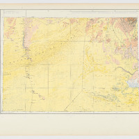
Emprise de la carte

hasPurpose

describing

Targets

#1

type

oa:Selector

Format

application/wkt

value

POLYGON ((12.000215 20.2508, 12.999528 20.263723, 13.997371 20.271858, 14.998687 20.274239, 16.996457 20.265409, 18.337663 20.247056, 18.29745 17.999775, 18.261106 16.000583, 17.000668 15.997397, 15.998614 16.000131, 13.999385 16.00066, 11.999686 15.999308, 12.000685 17.000686, 12.001097 18.999092, 12.000215 20.2508))

styleClass

leaflet-interactive

Uncertainty

Known