[Annotation #642102]
Annotation
Métadonnées
Motivated by
locating
styledBy
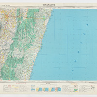
{"leaflet-interactive":{"pane":"overlayPane","attribution":"","bubblingMouseEvents":"true","color":"#34495e","dashArray":"10, 10","fillOpacity":"0","fill":"true","smoothFactor":"1","noClip":"false","stroke":"true","weight":"3","opacity":"1","lineCap":"round","lineJoin":"round","dashOffset":"","fillColor":"","fillRule":"evenodd","interactive":"true"}}
Targets
#1
type
oa:Selector
Format
application/wkt
value
POLYGON ((46.909262 -18.626598, 47.500205 -18.624601, 49.000705 -18.611189, 50.225344 -18.59054, 51.221491 -18.567193, 51.245876 -19.49994, 51.294335 -21.090559, 50.001055 -21.121429, 48.499155 -21.146125, 46.918843 -21.157055, 46.91694 -20.500324, 46.913758 -19.500441, 46.910507 -18.999946, 46.909262 -18.626598))
styleClass
leaflet-interactive
Uncertainty
Known