[Annotation #642126]
Annotation
Métadonnées
Motivated by
locating
styledBy
{"leaflet-interactive":{"style":"","pane":"overlayPane","attribution":"","bubblingMouseEvents":"true","fill":"true","smoothFactor":"1","noClip":"false","stroke":"true","color":"#34495e","weight":"3","opacity":"1","lineCap":"round","lineJoin":"round","dashArray":"10, 10","dashOffset":"","fillColor":"","fillOpacity":"0","fillRule":"evenodd","interactive":"true"}}
Targets
#1
type
oa:Selector
Format
application/wkt
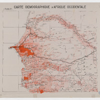
value
POLYGON ((-17.987366 7.213988, -18.000959 12.00092, -15.999639 11.997755, -14.006298 11.999349, -11.998817 12.000458, -11.999648 10.984103, -11.999556 9.001758, -11.998262 7.20045, -13.99222 7.198787, -15.993386 7.197308, -17.987366 7.213988))
styleClass
leaflet-interactive
Uncertainty
Known