[Annotation #642211]
Annotation
Métadonnées
Motivated by
locating
styledBy
{"leaflet-interactive":{"pane":"overlayPane","attribution":"","bubblingMouseEvents":"true","color":"#34495e","dashArray":"10, 10","fillOpacity":"0","fill":"true","smoothFactor":"1","noClip":"false","stroke":"true","weight":"3","opacity":"1","lineCap":"round","lineJoin":"round","dashOffset":"","fillColor":"","fillRule":"evenodd","interactive":"true"}}
Targets
#1
type
oa:Selector
Format
application/wkt
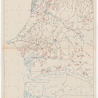
value
POLYGON ((-17.632274 16.973796, -16.498854 16.989471, -15.006055 17.00357, -13.994584 17.00031, -13.993769 16.58956, -13.992139 15.591373, -13.991813 14.687723, -13.997355 12.95149, -14.00018 12.015023, -14.996846 12.01285, -15.992643 12.004592, -16.992786 12.001549, -17.545669 12.000028, -17.547625 12.107496, -17.563272 12.994195, -17.581745 13.997815, -17.608259 15.499552, -17.625211 16.497087, -17.632274 16.973796))
styleClass
leaflet-interactive
Uncertainty
Known