[Annotation #642388]
Annotation
Métadonnées
Motivated by
locating
styledBy
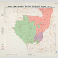
{"leaflet-interactive":{"pane":"overlayPane","attribution":"","bubblingMouseEvents":"true","color":"#34495e","fillColor":"#34495e","fillOpacity":"0","dashArray":"10, 10","fill":"true","smoothFactor":"1","noClip":"false","stroke":"true","weight":"3","opacity":"1","lineCap":"round","lineJoin":"round","dashOffset":"","fillRule":"evenodd","interactive":"true"}}
Targets
#1
hasSource
type
oa:Selector
Format
application/wkt
value
POLYGON ((6.999371 3.998955, 13.999935 3.998276, 19.001413 4.0015, 18.995644 0.996167, 19.000734 -3.008171, 18.999038 -7.000631, 14.996962 -7.000574, 11.001617 -7.000348, 7.003783 -7.001253, 6.994733 -5.004033, 7.004349 -1.007331, 7.002539 2.001961, 6.999371 3.998955))
styleClass
leaflet-interactive
Uncertainty
Known