[Annotation #642765]
Annotation
Métadonnées
Motivated by
locating
styledBy
{"leaflet-interactive":{"pane":"overlayPane","attribution":"","bubblingMouseEvents":"true","color":"#34495e","dashArray":"10, 10","fillOpacity":"0","fill":"true","smoothFactor":"1","noClip":"false","stroke":"true","weight":"3","opacity":"1","lineCap":"round","lineJoin":"round","dashOffset":"","fillColor":"","fillRule":"evenodd","interactive":"true"}}
Targets
#1
type
oa:Selector
Format
application/wkt
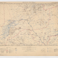
value
POLYGON ((-6.004511 20.00694, -2.003819 19.995727, 3.005307 19.997024, 6.003388 20.007242, 5.999495 19.005287, 5.993657 16.003638, 6.003604 11.993872, 3.001811 12.005765, -0.997119 12.00836, -4.005535 12.000928, -6.00303 11.992983, -5.994316 13.996372, -5.994658 17.000132, -5.997107 19.001728, -6.004511 20.00694))
styleClass
leaflet-interactive
Uncertainty
Known