Plan du cadastre d'Estella
Contenu
Titre
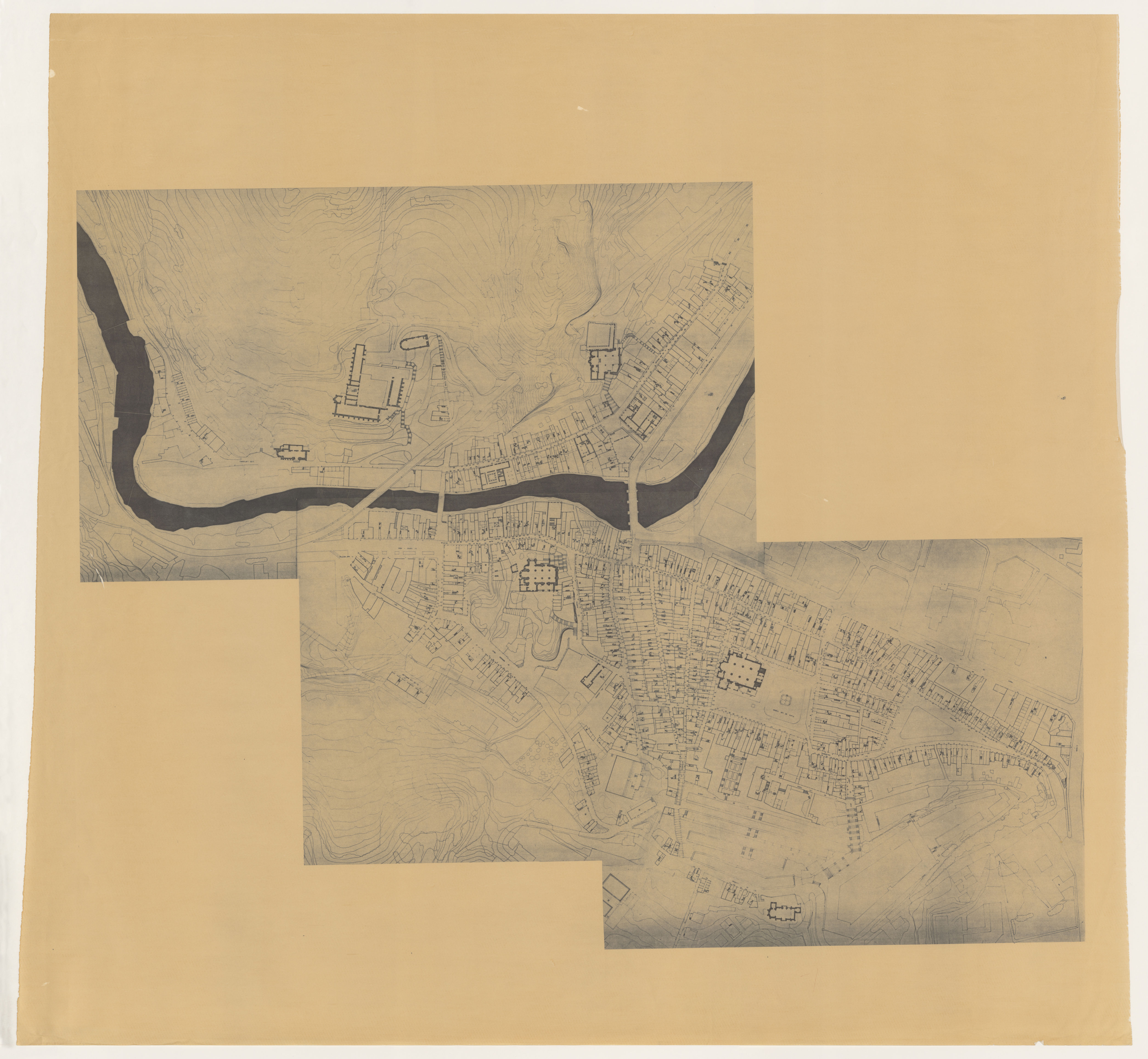
Plan du cadastre d'Estella
Editeur
_
Sujet
_
Couverture
Ville
Couverture spatiale
_
Provenance
_
Créateur
Jean Passini (CNRS – EHESS / CRH)
Résumé
Plan du cadastre de Estella
État du document
Bon
Identifiants des documents
1467
_
CSNAT-0382
Numéro du document
_
Support
Tirage papier
Format
117x110 cm
Langue
Espagnol
Couverture temporelle
Inconnue
Date de création
_
Date de publication
_
Se conforme à
Plan cadastral
Droits d’accès
Accès libre
page d’accueil
Plateforme Géomatique de l'EHESS
Ressources liées
Filtrer par propriété
| Titre | Libellé alternatif | Classe |
|---|---|---|
| [Annotation #703761] | Value | Annotation |
| Titre | Libellé alternatif | Classe |
|---|---|---|
| [Annotation #704642] | Annotation | |
| [Annotation #704648] | Annotation | |
| [Annotation #704654] | Annotation | |
| [Annotation #704658] | Annotation | |
| [Annotation #704664] | Annotation | |
| [Annotation #704674] | Annotation | |
| [Annotation #704680] | Annotation | |
| [Annotation #704686] | Annotation | |
| [Annotation #704696] | Annotation | |
| [Annotation #704702] | Annotation | |
| [Annotation #704706] | Annotation | |
| [Annotation #704712] | Annotation | |
| [Annotation #704719] | Annotation | |
| [Annotation #704723] | Annotation | |
| [Annotation #704729] | Annotation | |
| [Annotation #704733] | Annotation |