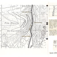
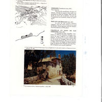
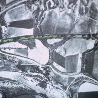
Aragón, plan topographique avec l'ermite de San Cristóbal
Contenu
Titre
Aragón, plan topographique avec l'ermite de San Cristóbal
Editeur
Instituto del Territorio y Urbanismo, MOPU, Casa de Velázquez
Sujet
Aucune
Couverture
Aucune
Couverture spatiale
*1:10000
Provenance
Maquette de El Camino de Santiago
Créateur
Jean Passini (CNRS – EHESS / CRH)
Résumé
Plan de San Cristobal
État du document
Bon
Identifiants des documents
5989
9
_
Numéro du document
_
Support
Papier découpé et calque sur papier A3
Format
42x29,7 cm
Langue
Espagnol
Couverture temporelle
Aucune
Date de création
_
Date de publication
1985
Se conforme à
Carte topographique
Droits d’accès
Accès libre
page d’accueil
Plateforme Géomatique de l'EHESS
Ressources liées
Filtrer par propriété
| Titre | Libellé alternatif | Classe |
|---|---|---|
| [Annotation #698301] | Annotation | |
| [Annotation #698295] | Annotation |
| Titre | Libellé alternatif | Classe |
|---|---|---|
| [Annotation #714215] | Value | Annotation |
Annotations
| Value | Purpose |
|---|---|
|
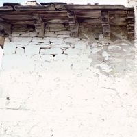
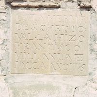
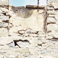
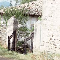
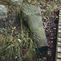
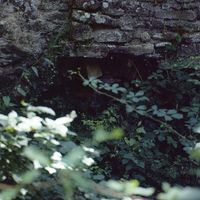
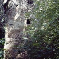
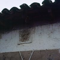
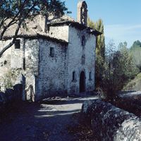
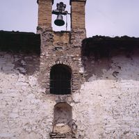
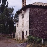
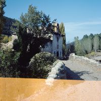
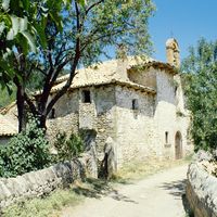
Junto a un edificio ya existente desde hace mucho tiempo y a arriba de un batán, hizo la ermita de San Cristóbal en el año de 1796, Francisco Villanúa, tintorero en Jaca. Destruída por las tropas de Napoleón, la ermita fue reconstruid…
|
identifying |
| Target selector | Selector type |
|---|---|
|
POLYGON ((2061.437134 1244, 2061.437134 1328, 2633.495086 1328, 2633.495086 1244, 2061.437134 1244))
|
oa:Selector |
| Value | Purpose |
|---|---|
|
Ermita de San Cristóbal
|
identifying |
| Target selector | Selector type |
|---|---|
|
POINT (-0.54528 42.584402)
|
oa:Selector |