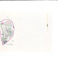
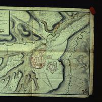
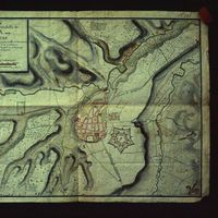
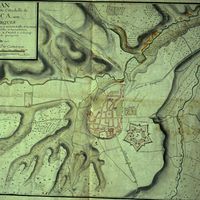
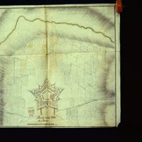
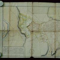
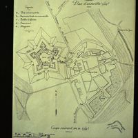
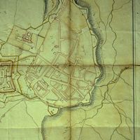
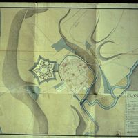
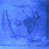
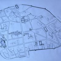
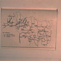
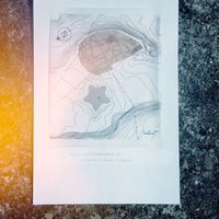
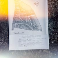
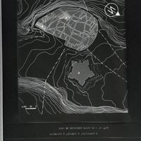
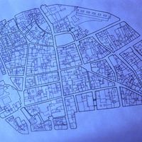
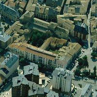
Aragón, plan topographique de Jaca
Contenu
Titre
Aragón, plan topographique de Jaca
Editeur
Instituto del Territorio y Urbanismo, MOPU, Casa de Velázquez
Sujet
Aucune
Couverture
Aucune
Couverture spatiale
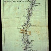
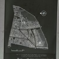
*1:10000
Provenance
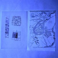
Maquette de El Camino de Santiago
Créateur
Jean Passini (CNRS – EHESS / CRH)
Résumé
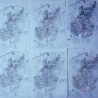
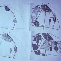
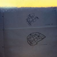
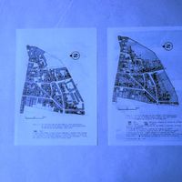
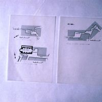
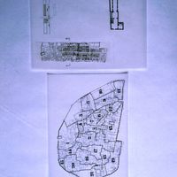
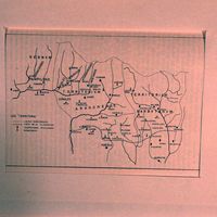
Plan de Jaca
État du document
Bon
Identifiants des documents
5990
10
_
Numéro du document
_
Support
Papier découpé et calque sur papier A3
Format
42x29,7 cm
Langue
Espagnol
Couverture temporelle
Aucune
Date de création
_
Date de publication
1985
Se conforme à
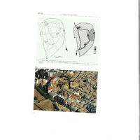
Carte topographique
Droits d’accès
Accès libre
page d’accueil
Plateforme Géomatique de l'EHESS
Ressources liées
Filtrer par propriété
| Titre | Libellé alternatif | Classe |
|---|---|---|
| [Annotation #698523] | Annotation | |
| [Annotation #698527] | Annotation | |
| [Annotation #714350] | Annotation |
| Titre | Libellé alternatif | Classe |
|---|---|---|
| [Annotation #714219] | Value | Annotation |
Annotations
| Value | Purpose |
|---|---|
|
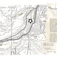
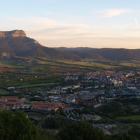
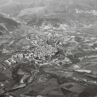
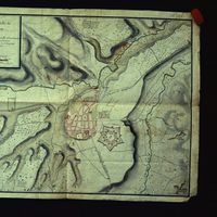
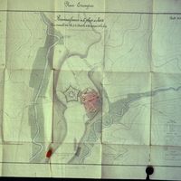
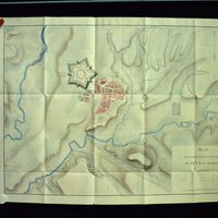
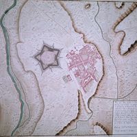
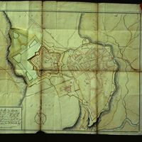
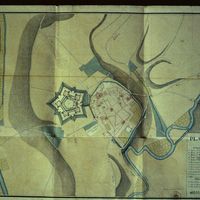
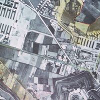
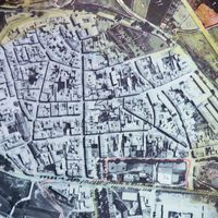
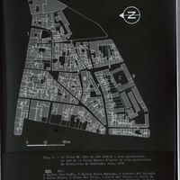
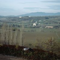
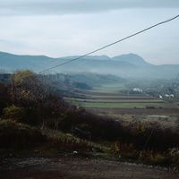
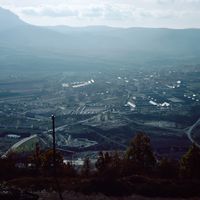
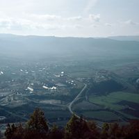
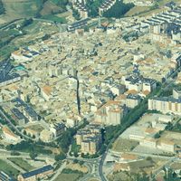
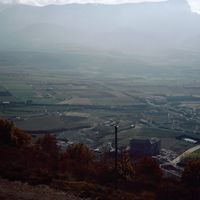
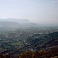
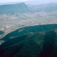
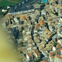
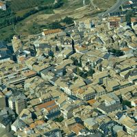
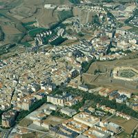
Jaca
|
identifying |
| Target selector | Selector type |
|---|---|
|
POINT (-0.549085 42.56996)
|
oa:Selector |
| Value | Purpose |
|---|---|
|
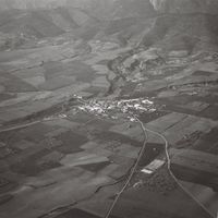
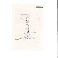
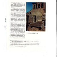
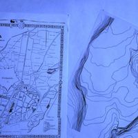
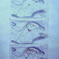
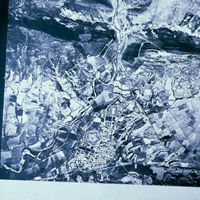
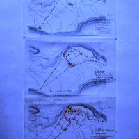
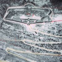
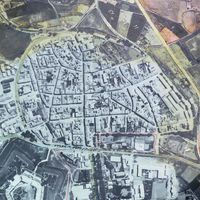
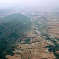
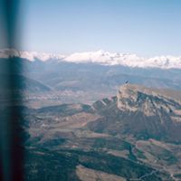
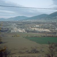
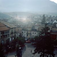
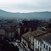
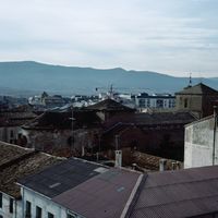
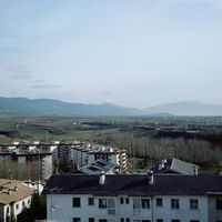
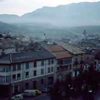
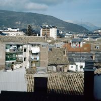
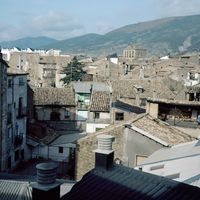
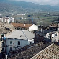
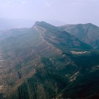
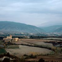
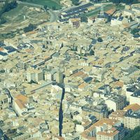
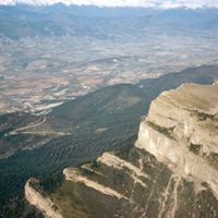
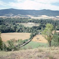
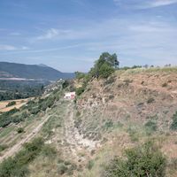
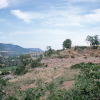
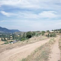
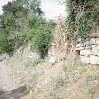
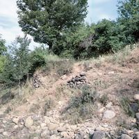
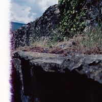
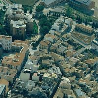
Situada en un área estratégica, la ciudad de Jaca se edificó en el lado sureste de la terraza fluvioglacial de la orilla izquierda del río Aragón, más abajo de la confluencia del río Gas y del río Aragón.
En 1035, Ramiro I ins… |
identifying |


| Target selector | Selector type |
|---|---|
|
POLYGON ((3381.522644 2176, 3381.522644 2276, 3617.546554 2276, 3617.546554 2176, 3381.522644 2176))
|
oa:Selector |
| Value | Purpose |
|---|---|
| Target selector | Selector type |
|---|---|
|
POLYGON ((2564.009585 1292.63092, 2564.009585 2085.869446, 3242.860915 2085.869446, 3242.860915 1292.63092, 2564.009585 1292.63092))
|
oa:Selector |