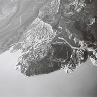
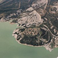
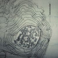
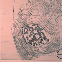
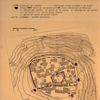
Aragón, plan topographique de Tiermas
Contenu
Titre
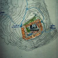
Aragón, plan topographique de Tiermas
Editeur
Instituto del Territorio y Urbanismo, MOPU, Casa de Velázquez
Sujet
Aucune
Couverture
Aucune
Couverture spatiale
*1:10000
Provenance
Maquette de El Camino de Santiago
Créateur
Jean Passini (CNRS – EHESS / CRH)
Résumé
Plan de Tiermas
État du document
Bon
Identifiants des documents
6018
38
_
Numéro du document
_
Support
Papier découpé et calque sur papier A3
Format
42x29,7 cm
Langue
Espagnol
Couverture temporelle
Aucune
Date de création
_
Date de publication
1985
Se conforme à
Carte topographique
Droits d’accès
Accès libre
page d’accueil
Plateforme Géomatique de l'EHESS
Ressources liées
Filtrer par propriété
| Titre | Libellé alternatif | Classe |
|---|---|---|
| [Annotation #699851] | Annotation | |
| [Annotation #699849] | Annotation |
| Titre | Libellé alternatif | Classe |
|---|---|---|
| [Annotation #699836] | Value | Annotation |
| [Annotation #714339] | Value | Annotation |
Annotations
| Value | Purpose |
|---|---|
|
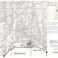
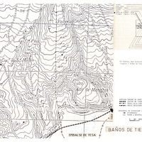
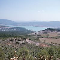
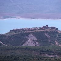
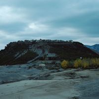
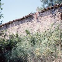
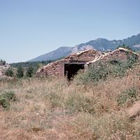
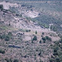
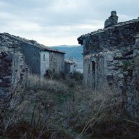
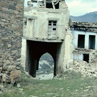
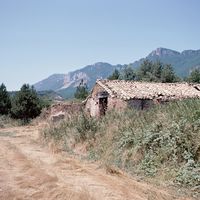
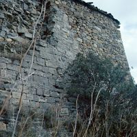
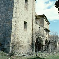
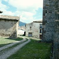
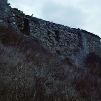
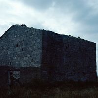
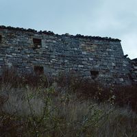
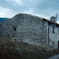
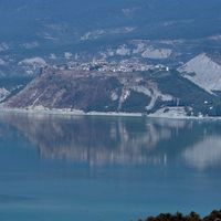
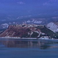
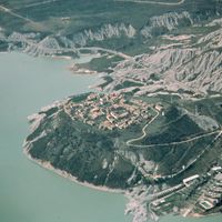
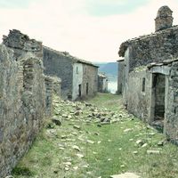
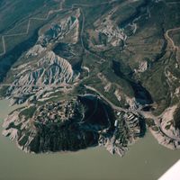
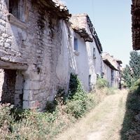
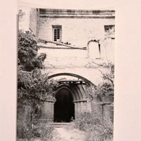
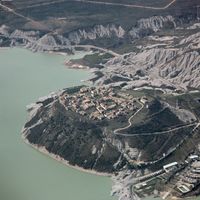
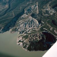
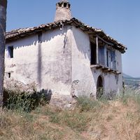
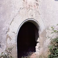
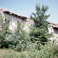
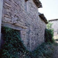
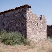
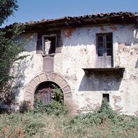
El camino de Santiago pasaba al pie del pueyo de Tiermas, ocupado por una ciudad fortificada fundada, en 1201, por el rey Pedro II de Aragón. La ciudad de Tiermas tuvo un papel importante en la defensa de la canal de Berdún. Se edifi…
|
identifying |


| Target selector | Selector type |
|---|---|
|
POLYGON ((1929.453344 732, 1929.453344 828, 2189.479686 828, 2189.479686 732, 1929.453344 732))
|
oa:Selector |
| Value | Purpose |
|---|---|
|
Tiermas
|
identifying |
| Target selector | Selector type |
|---|---|
|
POINT (-1.116354 42.614958)
|
oa:Selector |