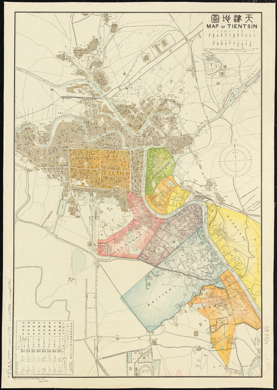
Map of Tientsin
Contenu
Titre
Map of Tientsin
Description
Coloured
English, Chinese, French, German, Italian
English, Chinese, French, German, Italian
Identifiant
77
Tianjin_carto_gallica(5).jpg
Tianjin_carto_gallica(5).jpg
Source
Chung-Tung Litho Works Tientsin
Couverture temporelle
1912
Couverture spatiale
Tianjin (China)
1:8 000
1:8 000
Créateur
Chung-Tung Litho Works Tientsin
Format
700 x 1010
Provenance
Bibliothèque nationale de France, département Cartes et plans, GE B-9974
Droits
Public domain
Licence
CC/BY/NC (for the metadata)
page d’accueil
Organisation responsible for metadata: École des hautes études en sciences sociales
Collections
Annotations
There are no annotations for this resource.
